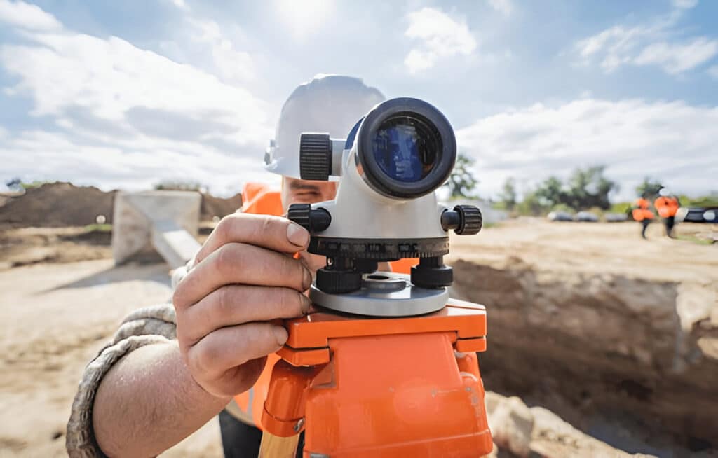
Accuracy & Reliability
We use advanced surveying techniques to deliver precise and dependable data.
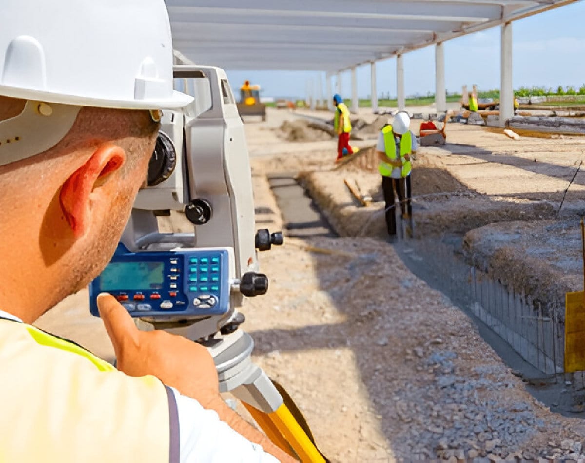
Industry Expertise
Our team has extensive experience in construction, engineering, and land development.
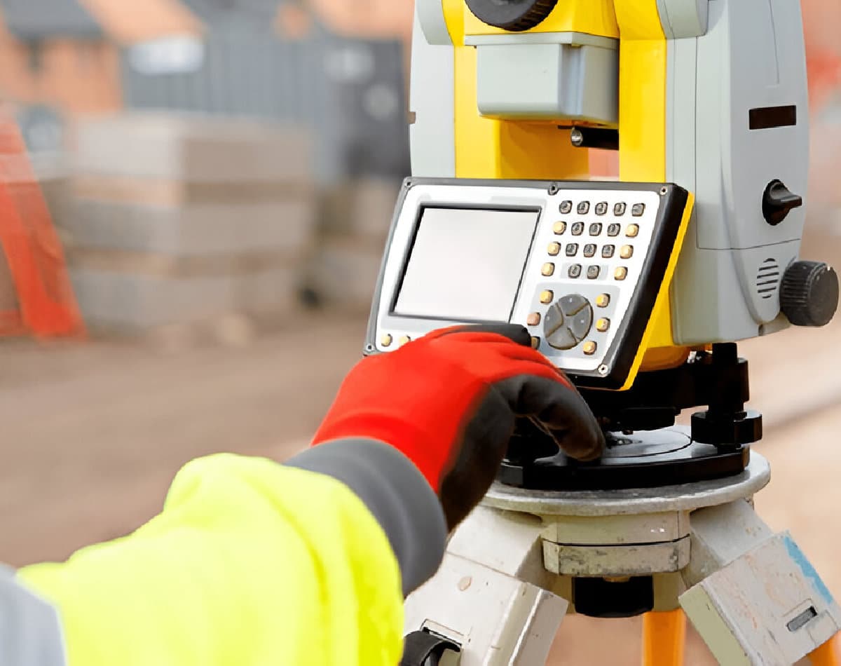
Client-Centered Approach
We tailor our services to meet the unique needs of every project.